In an effort to provide services faster and more conveniently, the Government of Nepal has launched NeLIS and Mero Kitta. Both are online platforms for delivering services under the Department of Survey. Let's learn more about them in detail.
 Similarly, Mero Kitta is an online platform where Nepalese citizens can get land-related services without having to visit survey offices. As of now, users can apply for services like Map print, Plot Register Print, and FieldBook Print. Users can even pay their taxes online using the platform.
For now, 18 out of 126 survey offices across Nepal haven't been embedded into the system, but the government promises that they'll go online within this year as well.
Similarly, Mero Kitta is an online platform where Nepalese citizens can get land-related services without having to visit survey offices. As of now, users can apply for services like Map print, Plot Register Print, and FieldBook Print. Users can even pay their taxes online using the platform.
For now, 18 out of 126 survey offices across Nepal haven't been embedded into the system, but the government promises that they'll go online within this year as well.
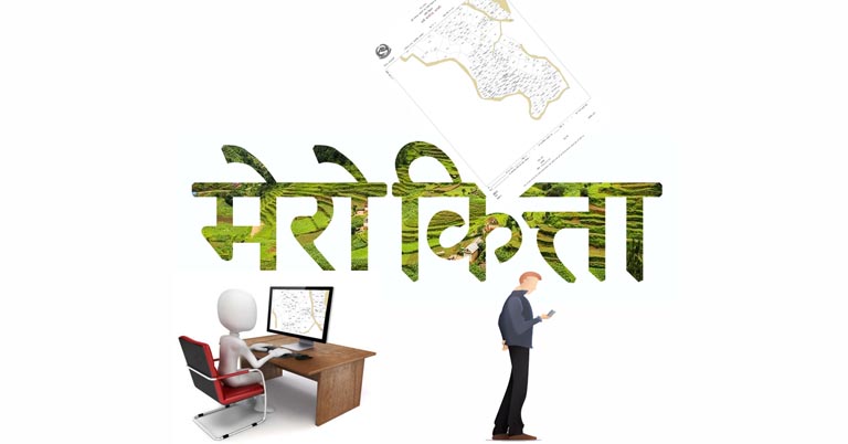
What is NeLIS & Mero Kitta?
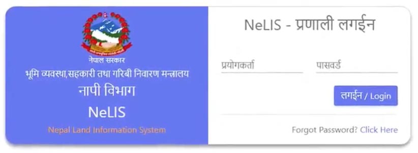
NeLIS stands for Nepal Land Information System and it’s a central database where all the data related to survey and plots will be stored from survey offices across the country. This central database will allow the concerned authorities to check the flow of service along with tax collection on each survey office. NeLIS needs to be updated with measurement-related data from the latest surveys.- Also Read:
How to use Mero Kitta?
One can use Mero Kitaa by visiting www.merokitta.dos.gov.np. You'll need a digital copy (less than 2MB) of your citizenship and land ownership certificate to be eligible to receive any of the aforementioned services. Then, users need to file an application for the service of their choice. Once the application is filed, users will receive an OTP on their smartphone that they need to preserve safely until the completion of the service. The application needs to be verified, after which the user will receive information about the payable fee/tax on their phone. One can pay it online platform using Connect IPS or through bank vouchers. After that, users will receive a PDF copy of the map on the platform. Users will also receive a reminder via SMS about the same. Maps received in such a way will remain there for a period of 7 days. Users need to download it within that period using the OTP.Advantages
The Department of Survey believes that this new platform will ease the crowd that we normally seen in survey offices. This will in turn help the government keep COVID-19 in check as well. On the other hand, it is another step towards the dream of Digital Nepal. It's just one of the multiple steps that the country has taken in this direction in recent times. Before this, the GoN had announced the Beta phase of the Nagarik App and it had also opened the way for Nepalese citizens to make international payments via Dollar cards.- Watch: Free Wi-Fi all over Nepal - Worldlink Mobility explained!
Article Last updated: April 18, 2021